GeoTeric地质导向地震像素法的油藏描述软件图形工作站方案
GeoTeric由5大工具所组成:
揭示页岩储层内部的细微变化,通过独特的基于像素处理技术的地震去噪和提高分辨率技术,更为精确的描述页岩油藏的分布范围,更精准的描述小断层和裂缝带的分布,识别页岩层潜在的高渗透率区域,以及对人工压裂响应最好的区域分布。用频率特征变化来揭示页岩层厚度变化以及薄互层分布,确定页岩储层最有利区域分布,这对勘探和开发而言都是意义重大的。2.盐丘油气藏描述工具:
结合地震像素去噪和地震像素地质体雕刻技术,凸显地震数据体地质内涵的空间变化,轻松完成对盐丘空间分布和盐丘几何外形的精确刻画。GeoTeric快速地质体探测算法,可以揭示肉眼无法分辨的地质现象。具有对细小断层和裂缝带强大的探测功能,对盐丘穿刺过程中发育的断层和裂缝进行描述,将探知的盐丘分布和断裂与裂缝带信息融入地震解释流程中,可以得到更完整和更精确的地质模型!
3.碳酸盐岩溶洞、生物礁油气藏描述工具:
对溶洞型油藏来说,了解其溶洞空间分布和连通性,无论对勘探还是开发工作都是至关重要的。结合相分类技术和像素成像雕刻技术,溶洞空间分布一目了然,为溶洞型油气藏勘探提供了强有力的决策手段。对断层通道的研究则提供了流体运移模式研究的手段,以及对开发潜力的评估手段。结合交互相分析和地震像素空间刻画技术,可以清晰的展示生物礁体的分布。
4.砂体、古河道、火山岩油气藏描述工具:
对于相对比较常规的砂岩油藏和火山岩油藏,砂体或河道砂以及火山岩体分布和几何形态是非常关键的。GeoTeric有机的综合了多属性交互地震相分类技术、三色混相地震分频技术、像素地质体雕刻技术,以及三维可视化技术,研发了出色的地质体三维刻画成像技术,在三维空间清晰的展示砂体、河道、火山岩、以及其它地质体的分布,为油田勘探和开发提供了坚实的决策基础。地质体的空间分布信息可以为三维地质建模提供极其重要的地质信息,为建立更为精确的地质模型提供了保证。地质模型在勘探和开发阶段,尤其是开发阶段,是极为重要的,精确的地质模型是制定开发方案和后续数模工作的基础。
5、断层与裂缝分布特征描述工具:
断层和裂缝带的分布对地震解释和地质综合研究是非常重要的,对理解圈闭机制和油气运移机制也是极其重要的。GeoTeric提供了适合各种空间尺度的断层与裂缝带提取和描述功能。您能够快速得到构造发育分布的准确信息。GeoTeric断层与裂缝分布特征描述工具的技术基础是其首创的地震像素断层成像技术,是地震数据处理技术与三维图像处理技术的有机结合,极大的提升了断层与裂缝信息提取的效率和质量,因此也相应的缩短了地震解释所需的时间。GeoTeric提取断层分布后,可以据此计算断层属性,例如断层趋势属性和断层密度属性等,可以用于断层破碎带研究和断层连通性研究等后续工作。
x64 | File Size: 470 MB
Description
Whether it’s the safe extraction of oil and gas, the placement of wind farms or verifying the suitability for carbon dioxide storage, Geoteric empowers geoscientists to reveal stories from within their seismic data. With a better subsurface understanding, geoscientists and engineers can operate more effectively and are better equipped to solve some of the world’s biggest challenges.
Bring AI into interpretation
AI delivers a greater understanding through the power of people, science and technology. Explore the possibilities of integrating AI into your seismic interpretation workflow.
AI Seismic Interpretation
With Geoteric AI, project cycle times are significantly reduced without compromising on quality, allowing you to make more informed business decisions.
Dedicated to deeper discovery
For over 30 years, we’ve been expanding what’s possible in geological analysis, helping customers complement their expertise with innovative interpretation technologies worldwide.
More accurate results in less time
Understanding subsurface structure is critical in optimising asset plans, well safety and sustainability projects such as Carbon Capture and Storage (CCS). Geoteric AI is a trailblazer in the industry; pioneering these state-of the art tools to detect faults in seismic data that may even be invisible to the human eye, giving the interpreter more confidence to better understand compartmentalisation, trap and seal integrity, geohazards as well as increasing production rates.
System Requirements:
OS:Windows 7/10
CPU:Recommended Specs – September 2020
5
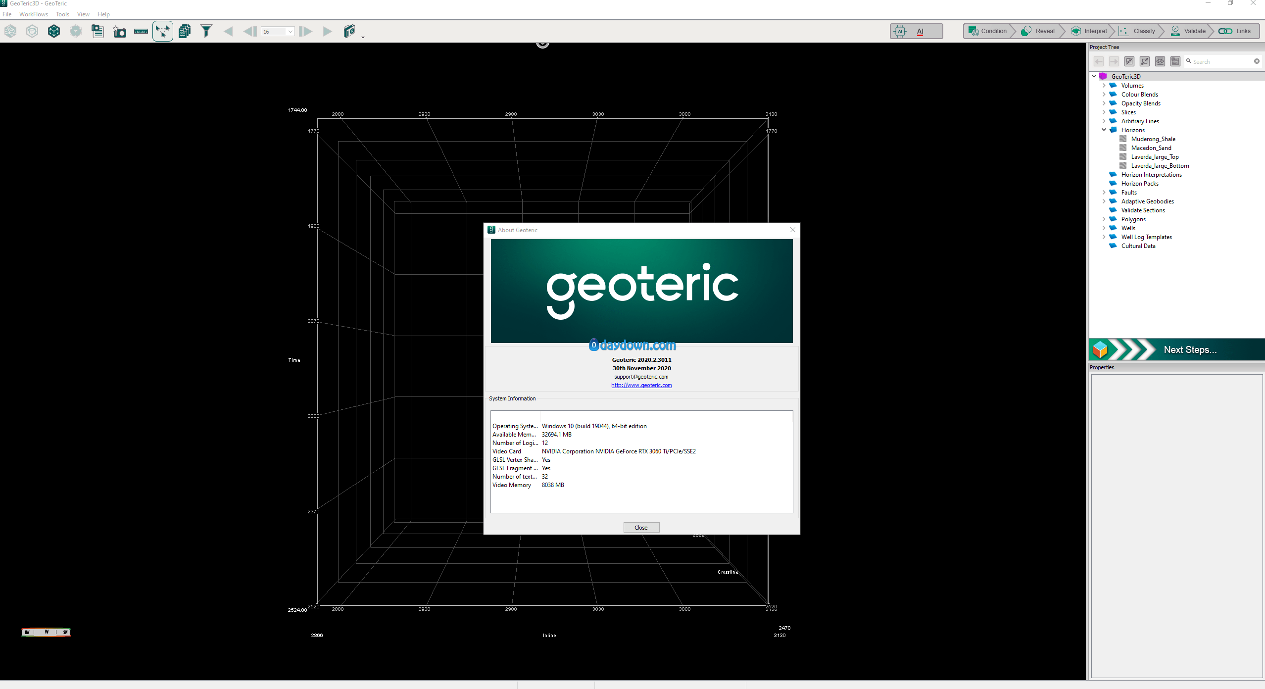
System specification
CPU Minimum Single 4 core CPU / 8 Core CPU
Memory:64GB/128GB
转载请注明:0daytown » Geoteric 2020.2 x64
 Password/解压密码www.tbtos.com