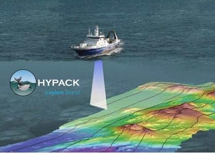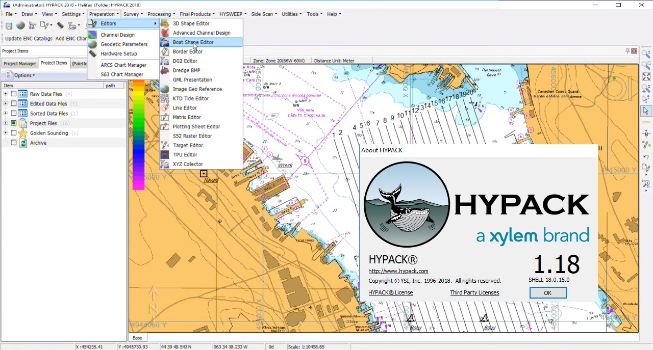
HYPACK 2018是由美国coastal海洋图像公司出品的一款世界知名的水文综合测量软件。它能够为勘测员提供了设计勘测、收集数据、处理数据、减少数据和生成最终产品所需的所有工具。从大地测量转换、测量设计、数据采集、数据后处理直到最终测量成图都实现了快速可靠,强大的绘图引擎能够以当前所有的格式的图件作为背景文件来实现测线建立和实时数据采集。
除了具备强大的测量成图系统功能外,HYPACK 2016还可与各种导航系统、测深仪(单波束、多波束)、波浪补偿器、绘图仪、打印机、潮位遥报仪、罗盘、耙臂等多种测量、疏浚施工设备相连接分别组成自动化数字测绘系统和疏浚工况实时监测系统,将使水运工程测量工作,无论是质量还是效率都产生了飞跃性变化,为方便用户体验
HYPACK – A Xylem brand has announced the release of HYPACK 2018. This release represents several improvements to our previous version and includes many powerful enhancements and cutting edge tools. Many of the changes in HYPACK come from customer’s requests or suggestions so we appreciate all your feedback throughout the year.
What’s new in HYPACK 2018 version 18.1.18: here

About HYPACK. HYPACK – A Xylem Brand and now part of YSI is a Windows based software for the Hydrographic and Dredging Industry. HYPACK is one of the most widely used hydrographic surveying packages in the world, with more than 10,000 users. It provides the Surveyor with all the tools needed to design their survey, collect data, process it, reduce it, and generate final products. Whether you are collecting hydrographic survey data or environmental data, or just positioning your vessel in an engineering project, HYPACK provides the tools needed to complete your job. With users spanning the range from small vessel with just a GPS and single beam echosounder to large survey ships with networked sensors and systems, HYPACK gives you the power needed to complete your task in a system your surveyors can master.
HYPACK hydrographic survey software solutions provide customers with data collection and processing that enable real time imaging, terrain modeling, and statistical reporting. HYPACK solution and display features include:
– Data collection and processing: Single beam, multibeam, side scan sonar, etc.
– Real-time imaging, targeting, QC, graphical/automated editing
– Navigational and dredging support with digging efficiency and precise positioning
– Reports for sections, volumes, TIN models, plots, side scan mosaic, performance, and data statistics
About HYPACK / Xylem Inc. HYPACK – A Xylem brand is a world leader in software development for the hydrographic and dredging industry since 1984. Our software is one of the most widely used hydrographic software packages in the world, with more 10,000 users in over 140 countries.
Product: HYPACKHYPACK
Version: 2018 version 18.1.18
Supported Architectures: x64
Website Home Page : http://www.hypack.com
Language: english
System Requirements: PC
Supported Operating Systems: Windows 7even or newer
Size: 1.2 Gb
Download rapidgator
https://rg.to/file/c9b80bb30553878eecc3db9e5cb74c05/PaHy.18.V118rar.part1.rar.html
https://rg.to/file/215507183117056324ea38d073beb2fc/PaHy.18.V118rar.part2.rar.html
https://rg.to/file/c4ac910d6dc8798ffb40ec6825f570c1/PaHy.18.V118rar.part3.rar.html
https://rg.to/file/1152cae937233b3e63b803cd94ab5eb3/PaHy.18.V118rar.part4.rar.html
Download nitroflare
http://nitroflare.com/view/D75B5E93C0ACB73/PaHy.18.V118rar.part1.rar
http://nitroflare.com/view/2B88013A95C1D65/PaHy.18.V118rar.part2.rar
http://nitroflare.com/view/44C6620C9D83C33/PaHy.18.V118rar.part3.rar
http://nitroflare.com/view/66D5F34A1BD0853/PaHy.18.V118rar.part4.rar
Download 百度云
你是VIP 1个月(1 month)赞助会员,
转载请注明:0daytown » HYPACK 2018 v18.1.18