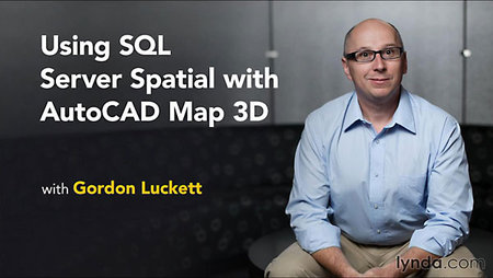
Lynda – Using SQL Server Spatial with AutoCAD Map 3D
Genre: eLearning | Level: Intermediate | Language: English
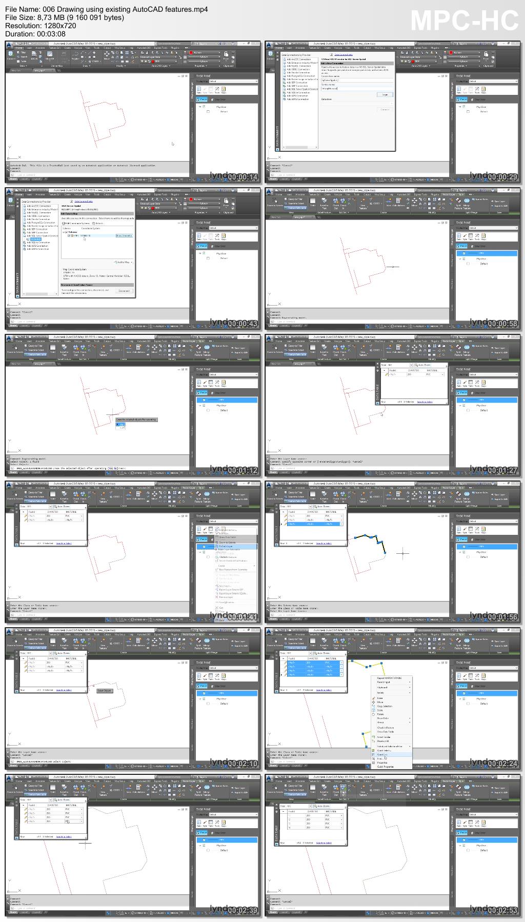
Discover how to use SQL Server to store spatial data and edit that data in real time with AutoCAD Map 3D. This short course, featuring GIS expert Gordon Luckett, shows how to connect to SQL Server and create your own database, edit the data with AutoCAD’s drawing tools, and import GIS data from other sources. Gordon also shows how to export data to share with clients and coworkers.

Download uploaded
http://uploaded.net/file/unqcyrtd/LcUsSQLSrvrSpatACADMap3D.rar
Download nitroflare
http://www.nitroflare.com/view/019E68B86DBFCFA/LcUsSQLSrvrSpatACADMap3D.rar
Download rapidgator
http://rg.to/file/45a3d3ef76396a9b35255d1931fc2643/LcUsSQLSrvrSpatACADMap3D.rar.html
Download 百度云
http://pan.baidu.com/s/1qWNYvoS
转载请注明:0daytown » Lynda – Using SQL Server Spatial with AutoCAD Map 3D