Introduction to QGIS Python Programming
HDRips | MP4/AVC, ~611 kb/s | 1280×720 | Duration: 03:32:55 | English: AAC, 128 kb/s (2 ch) | 777 MB
Genre: Development / Programming
Learn how to analyze and display geospatial information using QGIS and Python.
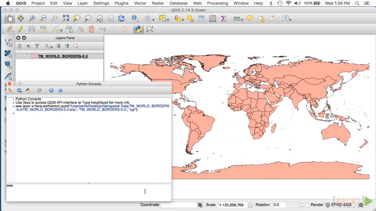
Become familiar with using QGIS as a tool for Python geospatial development.
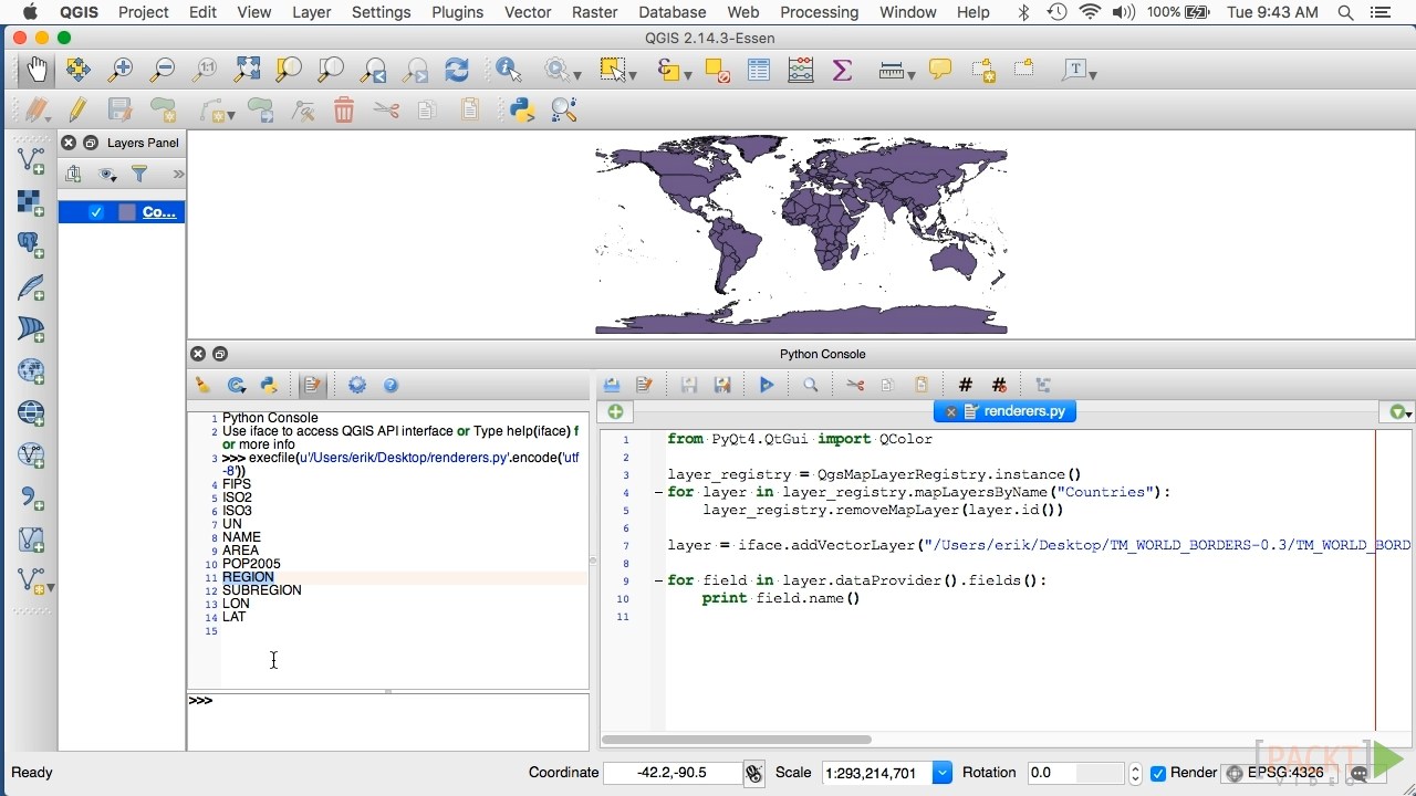
Understand how the QGIS Python library can be used to read, write, edit, analyze and display geospatial information.
See how to use the QGIS Python APIs to solve a range of real-world geospatial programming problems.
Learn how to create plugins which run within the QGIS application itself.
Discover how to create standalone applications that use the QGIS Python API.
QGIS is a standalone geographical information system – that is, an application for viewing, analyzing and editing geospatial data. This video course shows how to leverage QGIS as a tool for developing geospatial applications using Python. Geospatial applications are often very complicated; using QGIS, you can avoid a lot of this complexity by developing at a higher level, making use of many of the tools for viewing, analyzing and editing geospatial data that are provided by the QGIS system. Using these tools, you can build more sophisticated geospatial applications with less time and effort.


Download uploaded
http://uploaded.net/file/nkugn9rg/Intr.to.Q.Py.Pr.part1.rar
http://uploaded.net/file/9yrdcgoj/Intr.to.Q.Py.Pr.part2.rar
http://uploaded.net/file/hr9p2ml6/Intr.to.Q.Py.Pr.part3.rar
Download nitroflare
http://nitroflare.com/view/58888F033F54D5B/Intr.to.Q.Py.Pr.part1.rar
http://nitroflare.com/view/51835F0D1BC86F1/Intr.to.Q.Py.Pr.part2.rar
http://nitroflare.com/view/4DC2144957FBA38/Intr.to.Q.Py.Pr.part3.rar
Download 百度云
你是VIP 1个月(1 month)赞助会员,