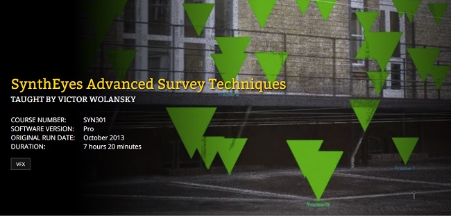
Duration 7h 20m Project Files Included MP4
Title: FXPHD – SYN301 – SynthEyes Advanced Survey Techniques
Info:
Release Date October 2013
In this advanced course, Victor Wolansky will share advanced techniques on how to use survey information for a variety of purposes. This includes how to match cameras to real world coordinates, cross link tracking points from multiple cameras for better precision, and using survey data from Survey Stations. This is information which is very precise, so much so that you can force SynthEyes to constrain to those points to even solve shots without any motion.
Later we will export these shots with multiple cameras to 3DS MAX and keep it all in real world units to match purchased or modeled to real sizes. We will also take a look the new distortion / undistortion workflow in the app as well as examine how to use LIDAR scans in SynthEyes and constrain tracking points to the point could.
Quite a few new very useful features where included in SynthEyes in the last versions, and the “Phases” is anptjer invaluable tool we are going to be using along the course.
Password/解压密码0daydown
Download rapidgator
Download nitroflare
转载请注明:0daytown » FXPHD – SYN301 – SynthEyes Advanced Survey Techniques