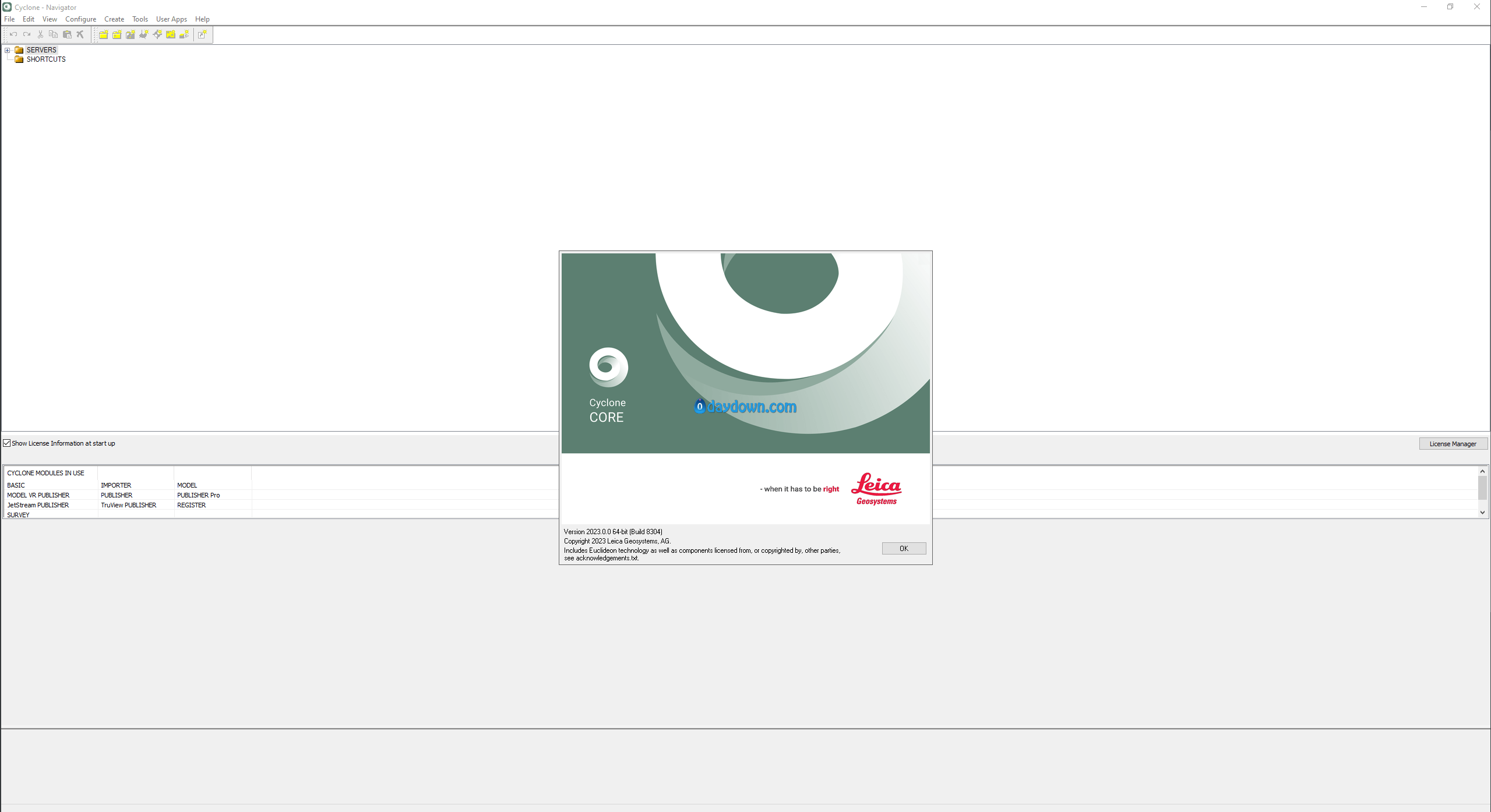
一款世界领先的3D设计辅助工具。软件可以从最初的概念模型或想法为用户创建全新的仿真模型,提供了基于点云处理的市场领先的激光扫描功能,非常有效的解决现代工业设计、工程建设、大地测量等诸多日常任务的有效综合解决方案。有了这个程序,测量师可以精确的扫描测量结构精确到毫米精度。这使得实时检测不断变化的结构和环境数据成为可能,帮助企业级别用户应对更严峻的挑战。而且,到现在为止市场上绝大多数的CAD软件和建模程序只是从几个样本顶点构造几何图形,而且还使用设计假设的原理来估计剩余的几何图形来建模,非常缺乏科学性,而本程序可以完美的解决这些问题,大大提高目前项目工作流程的速度,还可以对一些重复性高的设置进行自动化,真正的实现了以繁为简
x64 | File Size: 2.17 GB
Description
Leica Cyclone is the market-leading point cloud processing software. It is a family of software modules that provides the widest set of work process options for 3D laser scanning projects in engineering, surveying, construction and related applications.
For organisations that need to add point cloud data to their process, Leica Cyclone is the only solution that can create all of the deliverables you need and serve them to you seamlessly across your downstream products. Unlike other scanning providers, the Cyclone ecosystem efficiently delivers on the entire set of project requirements; which ensures your organisation’s profitability.
The Cyclone family of products is a key part of the complete solution. The various Cyclone modules take users from start to finish for every type of point cloud project.
There are modules to take advantage of the unique Leica Geosystems laser scanners field data collection operations, such as traverse, back-sight and resection as well as Visual Inertial System (VIS) links created by the Leica RTC360 for rich survey-grade collection and registration of data. This includes wizard-like automation routines that do all the work for the user as well as the industry’s richest set of QA/QC and survey adjustment and analysis tools.
There are other modules dedicated to generating a vast array of deliverables from reports to maps and 3D models, movies/animations, and light weight 3D data formats that can be distributed freely over the web. These modules support a wide range of industries and workflows including civil engineering, as-built 3D models, topographic surveys, BIM models and much more.
Still others serve as your central source of truth, allowing you to connect the work of field teams and CAD technicians and create user communities to safeguard your data against misuse.
With the release of Leica Geosystems’ Universal Project file, LGS, users have total flexibility to exchange data from Cyclone between all Leica Geosystems laser scanning software, delivering your complete digital reality project data in a single file for all your collaboration and deliverable creation needs.
Leica Cyclone is comprised of individual software modules for different needs and for flexible product deployment
System Requirements
Processor: 2 GHz Dual Core processor or better
RAM: 2 GB (4 GB for Windows Vista or Windows7)
Hard disk: 40 GB
Display: SVGA or OpenGL accelerated graphics card (with latest drivers)
Supported Operating Systems: Windows XP (SP2 or higher) (32 or 64)***, Microsoft Vista** ***, Windows 7 (32 or 64), or Windows 8 & 8.1 (64bit only)
File system: NTFS
转载请注明:0daytown » Leica Cyclone 2023.0.2 x64
 Password/解压密码www.tbtos.com