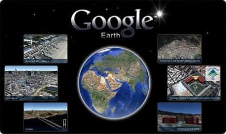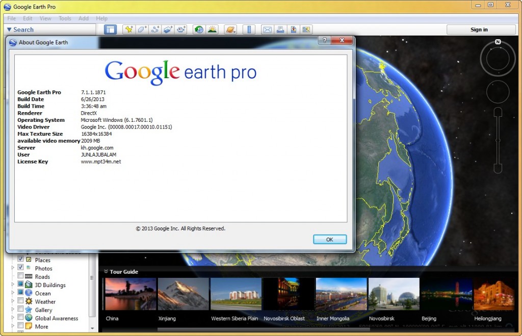
Google Earth采用的3D地图定位技术能够把Google Map上的最新卫星图片推向一个新水平。用户可以在3D地图上搜索特定区域,放大缩小虚拟图片,然后形成行车指南。此外,Google Earth还精心制作了一个特别选项——鸟瞰旅途,让驾车人士的活力油然而生。Google Earth主要通过访问Keyhole的航天和卫星图片扩展数据库来实现这些上述功能。该数据库在上星期进行了更新,它含有美国宇航局提供的大量地形数据,未来还将覆盖更多的地形,涉及田园,荒地等。
Google Earth combines satellite imagery, maps and the power of Google Search to put the world’s geographic information at your fingertips. Fly from space to your neighborhood. Type in an address and zoom right in. Search for schools, parks, restaurants, and hotels. Get driving directions. Tilt and rotate the view to see 3D terrain and buildings. Save and share your searches and favorites. Even add your own annotations.
OS : Windows XP, Windows Vista, Windows 7, Windows 8
Language : Multilingual
Home Page – http://earth.google.com
Download freakshare
http://freakshare.com/files/5wzubfms/Google.Earth.Pro.7.1.1.1871.rar.html
Download filefactory
http://www.filefactory.com/file/2tqbv5cuij99/Google.Earth.Pro.7.1.1.1871.rar
Download uploaded
http://uploaded.net/file/wilt9gzi/Google.Earth.Pro.7.1.1.1871.rar
Download 百度云
http://pan.baidu.com/share/link?shareid=1854154096&uk=909467506

