3dsurvey是一款土地测量数据处理的软件解决方案。它可以与任何标准的数码相机拍照,图片导入3dsurvey和生产自己的正投影图,数字表面模型和计算量更快和更容易。自动数据处理基于匹配算法。
File size: 174 MB
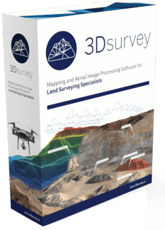
3Dsurvey is a software solution for land surveying data processing. Take a photo with any standard digital camera, import images into 3Dsurvey and produce your own orthophoto maps, digital surface models and calculate volumes faster and more easily. Data is processed automatically based on matching algorithms. Use our smart tools to be even more efficient.
Works with any drone and any camera
3Dsurvey software is designed to work with any digital camera, DSLR or GoPro. Use any UAV to capture aerial terrain images or check our PACKAGE SOLUTIONS.
Land surveying tool accuracy
Get the most accurate end results in a fast and elegant manner. Our team of experienced land surveyors and devoted computer vision specialists understands first-hand the importance of your end result accuracy.
No *.log from flight path needed
No need for downloading the flight point file from your drone or paying expensive systems to geo tag your aerial images. Simply import images from your camera and start processing.
Developed based on real projects
Being fast and efficient at land surveying projects every day is the foundation of 3Dsurvey. Our software is developed based on experience from more than 300 end customer drone projects! Check our SHOWCASES.
Homepage
Download rapidgator
https://rg.to/file/0a462f784a35301227369c3e7babcd2a/3Dsurvey.v3.0.0.rar.html
Download nitroflare
https://nitroflare.com/view/0283DB286A5AF0A/3Dsurvey.v3.0.0.rar
Download 百度网盘
链接: https://pan.baidu.com/s/1wRNaLYZJIa09MK_9NaU-1A?pwd=b5k2 提取码: b5k2