ENVI的背景创建于1977年的RSI(现为Exelis Visual Information Solutions公司)已经成功地为其用户提供了超过30年的科学可视化软件服务。目前ITT Visual Information Solutions的用户数超过200,000,遍布于80个国家与地区。
Exelis Visual Information Solutions, Inc., a developer geospatial image and data analysis software for extracting information from geospatial imagery and data, presents ENVI version 5.1, is products create the premier geospatial software foundation to process and analyze all types of imagery and data such as multispectral, hyperspectral, LiDAR, and SAR. They are designed to be used by everyone from GIS professionals to image analysts and image scientists, regardless of prior experience with imagery. All ENVI products integrate with ArcGIS® from Esri, are easily customized to meet your unique needs, and are backed by a robust community of users that crosses disciplines.
IDL is the trusted scientific programming language used across disciplines to extract meaningful visualizations out of complex numerical data.
Exelis Visual Information Solutions, formerly ITT Visual Information Solutions (ITT VIS), provides integrated software and services that help scientists, developers, image analysts, and medical professionals turn complex data into useful information.
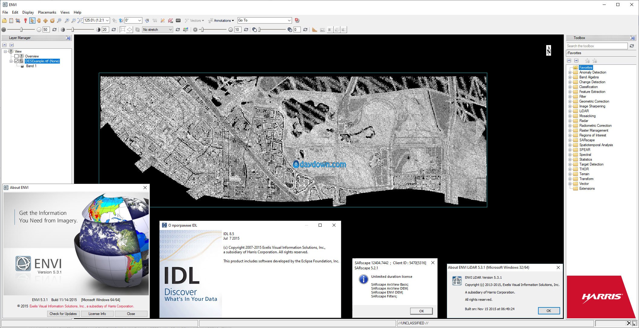
Product: Exelis ENVI
Version: 5.3.1 *
Supported Architectures: x64
Website Home Page : http://www.l3harrisgeospatial.com
Languages Supported: english
Size: 2.7 Gb
Password/解压密码www.tbtos.com
转载请注明:0daytown » Exelis ENVI 5.3.1