MP4 | Video: h264, 1280×720 | Audio: AAC, 44.1 KHz, 2 Ch
Genre: eLearning | Language: English | Duration: 11 lectures (1h 16m) | Size: 683.9 MB
You will be able to understand globally about the data connectivity system, the software used and how
What you’ll learn:
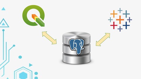
A brief explanation regarding the use of the data integration (QGIS-PostgreSQL-Tableau)
A brief explanation regarding the installation of the software (QGIS-PostgreSQL-Tableau)
A detailed explanation of the tools available in QGIS-PostgreSQL-Tableau
Creating Live Connection data with Tableau Server and PostgreSQL
Case Studies (Health, Economic, Environment and Urban)
Requirements
Participants don’t need to hesitate if they don’t have the software in question, we will help with the installation process
Description
Quantum GIS, which is an open source software to open data, for friends in the spatial and earth fields, you must be familiar with this software, and for friends who are not familiar, don’t worry, in the next section there will be a discussion fo deeper for each software, in QGIS there are main sections such as toolbars, menus, table of content and Data Frames. For more detail explaination, we try to directly open the QGIS application here.
Postgresql, which is an open source software for data storage. Actually, besides postgresql, you can also use other software such as mysql, mongoDB, oracle etc. But here I use postgresql because it is very powerful in spatial data storage but it is also easy to connect. , to open PostgreSQL we can look for PgAdmin in the start menu, then enter the username and password that was created during the installation process. After logging in, we create a new database, for example udemy training. But before we first add PostGIS extensions to PostgreSQL, postgis extensions are extensions that can provide spatial functions or geometric functions.
Tableau, Tableau is a Business Intelligence platform to assist in viewing and understanding data. The platform is the result of a computer science project at Stanford founded in 2003. The goal of Tableau is to improve the flow of analysis and make data more accessible to people through visualization.
Who this course is for
Beginners who want to learn more about data integration
Beginners who want to learn more about creating interactive maps/data visualizations
Pemula yang ingin belajar menggunakan software QGIS, PostgreSQL and Tableau
Password/解压密码www.tbtos.com
转载请注明:0daytown » Best Work with dynamic Visual Map (Tableau-PostGIS-QGIS)