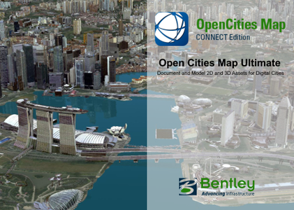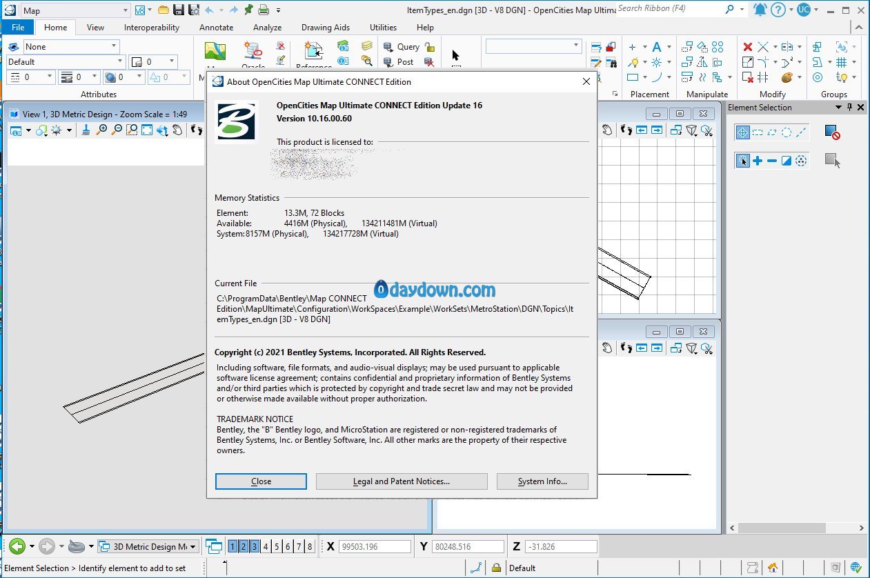
The software developer OpenCities Map is pleased to announce the availability of OpenCities Map Ultimate CONNECT Edition Update 16 (10.16.00.60) Is designed for users that need all the functionality of OpenCities Map Advanced as well as the ability to execute advanced reality data processing with Bentley Descartes, and/or long transactions with a two-tier connection to Oracle Spatial. Bentley Descartes is included with OpenCities Map Ultimate. OpenCities Map Ultimate also supports full 3D editing.
OpenCities Map CONNECT Edition Update 16 Release notes
Bentley is pleased to announce OpenCities Map CONNECT Edition Update 16, a new release of OpenCities Map products to provide 2D / 3D Desktop GIS and Mapping, is available for immediate download. All three editions – OpenCities Map PowerView, OpenCities Map Advanced, and OpenCities Map Ultimate, and the OpenCities Map Advanced SDK have been released.
Note: that the Update number has been adjusted to coincide with the Power Platform / MicroStation Update number, there were no updates between 7.1 and 16.
New Features and Capabilities
New Map Configuration Ribbon Group: These tools are designed to elevate your File-based CAD designs to Geospatial data models using geospatial schemas and geospatial databases.
Update Configuration: This tool will update the active configuration (Workspace/Workset), and make sure that it is fully compatible with OpenCities Map. If required, a new blank OpenCities Map schema will be created.
Inference Rules: This new command remains in the Technology Preview set of features, and allows you to create feature definitions for the inferred features in the active session. The New Live Feature Detection Rules dialog is like MicroStation’s Display Rules dialog. You use an editor to specify conditions in-which the elements are to be inferred as features in the Map Schema. It is also possible with the rules to set property values for the inferred feature based on information extracted from the CAD element. Conditions can be added and or combined to ensure the Features meet your Schema specifications.
Update Features: A simplified workflow to update feature definitions in an OpenCities Map schema and update the active configuration (Workspace/Workset).
OpenCities Map , an innovative geospatial platform made specifically for MicroStation users. OpenCities Map is built right on top of MicroStation and has a familiar user interface that makes it easy to quickly become proficient in creating powerful GIS models. For Bentley MicroStation users, OpenCities Map is the best way to modernize your existing CAD environment and tap into the power of spatially fueled GIS workflows. It’s easy to use and integrates powerful GIS tools into the MicroStation interface you rely on every day.


Product: OpenCities Map Ultimate
Version: CONNECT Edition Update 16 (10.16.00.60)
Supported Architectures: x64
Website Home Page : http://www.bentley.com
Languages Supported: english
System Requirements: PC *
Size: 8.2 Gb
Password/解压密码www.tbtos.com
转载请注明:0daytown » OpenCities Map Ultimate CONNECT Edition Update 16