MP4 | Video: AVC, 1280×720 30 fps | Audio: AAC, 48 KHz, 2 Ch | Duration: 2h 57m
Skill Level: Beginner | Genre: eLearning | Language: English + Subtitles | Size: 745 MB
Enrich your GIS data and make more effective maps with QGIS. Gordon Luckett shows how to get QGIS up and running on your computer and create both 2D and 3D maps with vector and raster data. Plus, learn how to stylize maps, get more insights from data with overlays and heat maps, and publish results with powerful Python-driven plugins for QGIS.
Topics include:
Explore how to add WFS layers from a server.
Identify what format WMS typically delivers images in.
Explore the navigation within a 3D Map window.
State which layer properties tab allows you to edit the line layers of a shapefile.
List the labels tab that should be selected to edit the visibility of vector data labels at certain scales.
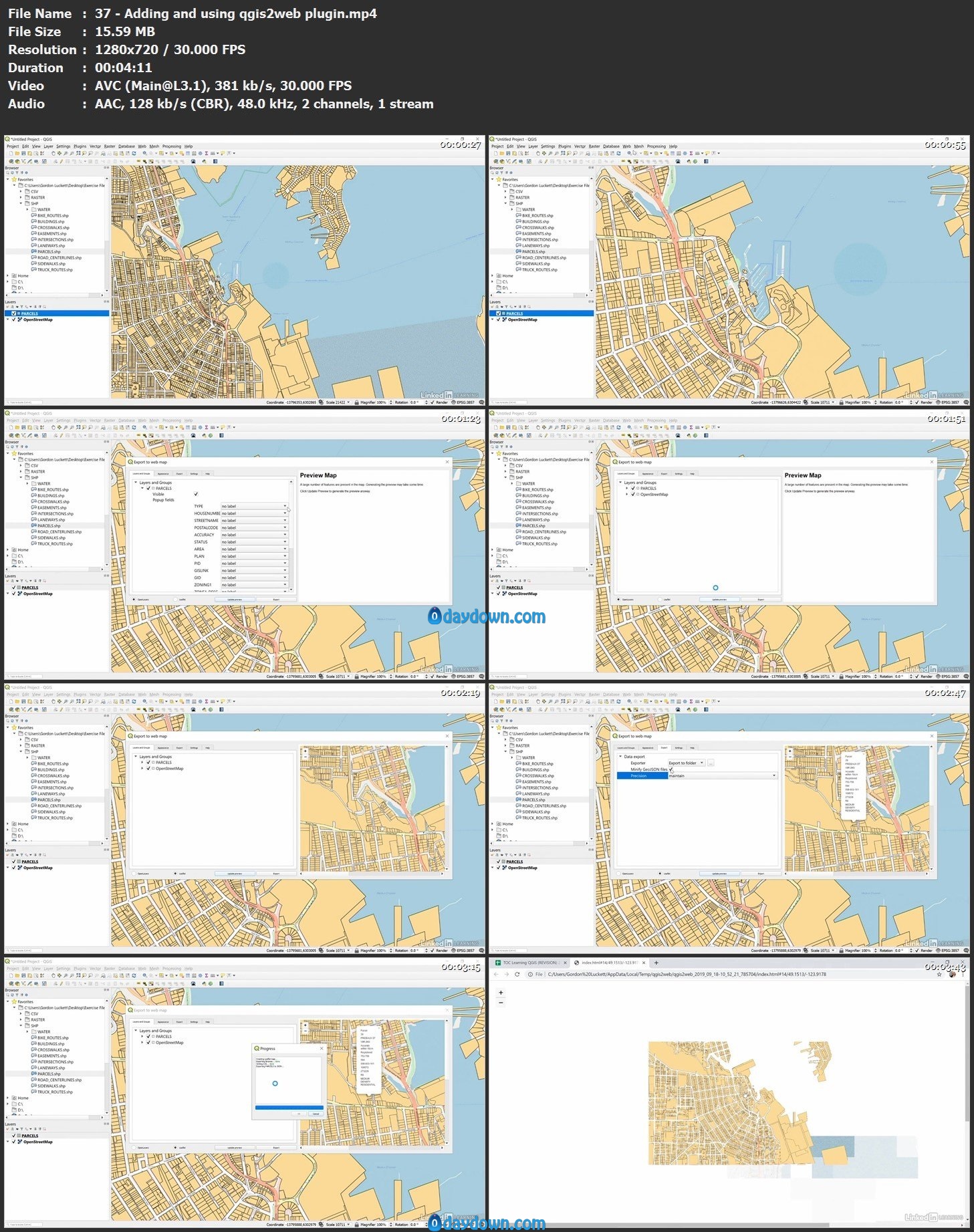
Identify how to use Python and the OpenLayers plugin within QGIS.
 Password/解压密码-0daydown
Download rapidgator
https://rg.to/file/62bee173e8bec895ef4695416ab1373a/Learning_QGIS.part1.rar.html
https://rg.to/file/2b44439bb3a43780ee6aab2fb5f33d44/Learning_QGIS.part2.rar.html
Download nitroflare
https://nitroflare.com/view/D1192D2F1CB4E0D/Learning_QGIS.part1.rar
https://nitroflare.com/view/3F3EC080F0858B6/Learning_QGIS.part2.rar
Download 百度云
你是VIP 1个月(1 month)赞助会员,
转载请注明:0daytown » Learning QGIS
与本文相关的文章
- Unreal Engine 5 for Absolute Beginners: Build Subway Surfers
- iOS & Swift: Server/Backend-Driven UI for Dynamic Apps
- Python 3 OOP: Master Python Object Oriented Programming
- Automation Testing Strategies with ASP.NET Core
- Python for VLSI Engineer P2 : Understanding COCOTB
- Adobe Illustrator Essentials: Design Like a Pro in Days
- Building Powerful AI Marketing Automation with OpenAI API
- Creating an Abandoned Church Environment in Unreal Engine 5
- Train Object Detection Models For Android – Java & Kotlin
- Master Next.js for Beginners 2024 with projects
- Backend Systems Design
- AUTOSAR Application Software Layer Course (ASWL) | english