MP4 | Video: 720p | Duration: 2:48:07 | English | Subtitles: VTT | 1252.4 MB
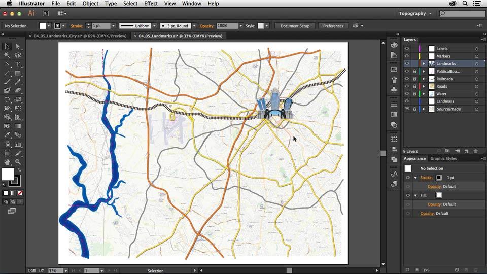
Learn to create a custom map that provides clean and accurate directions and points out the landmarks you want to highlight. In this course, William Everhart shows how to build a road map in Adobe Illustrator, which you can then print or embed on a website. Discover how to obtain a source image; trace the map; draw and style different roads, landmarks, and basic geographic features; and label your map with type and symbols. Finally, learn to add turn-by-turn directions and prepare your map for print or sharing online.
Topics include:
- Understanding different types of maps
- Extracting a map from an online source
- Sketching out a map
- Creating a tracing template
- Drawing major and minor roadways
- Using graphic styles
- Creating train tracks
- Drawing bodies of water, parks, and other landmarks
- Labeling roads
- Adding a map legend
- Saving for print
- Sharing a map online
Download uploaded
http://uploaded.net/file/0q1apagi/Creating%20a%20Map%20with%20Illustrator.rar
Download nitroflare
http://nitroflare.com/view/8EC85F415E1ED23/Creating_a_Map_with_Illustrator.rar
Download 百度云
你是VIP 1个月(1 month)赞助会员,